
御道口草原森林风景区 topographic map
Interactive map
Click on the map to display elevation.
About this map
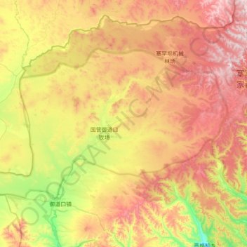
Name: 御道口草原森林风景区 topographic map, elevation, terrain.
Location: 御道口草原森林风景区, 围场满族蒙古族自治县, 承德市, 河北省, 中国 (42.14783 116.78381 42.42143 117.39235)
Average elevation: 1,449 m
Minimum elevation: 1,067 m
Maximum elevation: 1,904 m
Other topographic maps
Click on a map to view its topography, its elevation and its terrain.