
Lac à Lauzon topographic map
Interactive map
Click on the map to display elevation.
About this map
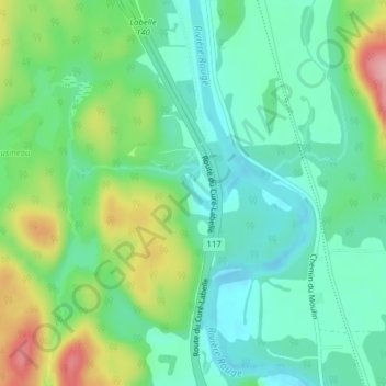
Name: Lac à Lauzon topographic map, elevation, terrain.
Average elevation: 240 m
Minimum elevation: 196 m
Maximum elevation: 337 m
Other topographic maps
Click on a map to view its topography, its elevation and its terrain.
Lac Marier
Canada > Québec > Les Laurentides > Labelle
Lac Marier, Labelle, Les Laurentides, Laurentides, Québec, Canada
Average elevation: 321 m