
Imboden topographic map
Interactive map
Click on the map to display elevation.
About this map
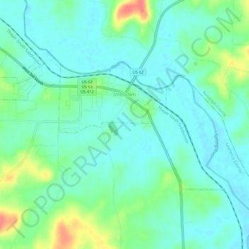
Name: Imboden topographic map, elevation, terrain.
Location: Imboden, Lawrence County, Arkansas, 72434, United States (36.18635 -91.20618 36.20852 -91.15395)
Average elevation: 95 m
Minimum elevation: 79 m
Maximum elevation: 140 m