
来马镇 topographic map
Interactive map
Click on the map to display elevation.
About this map
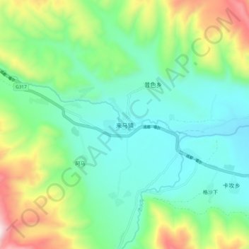
Name: 来马镇 topographic map, elevation, terrain.
Location: 来马镇, 甘孜县, 甘孜藏族自治州, 四川省, 中国 (31.63709 99.65809 31.71709 99.73809)
Average elevation: 3,721 m
Minimum elevation: 3,443 m
Maximum elevation: 4,426 m