
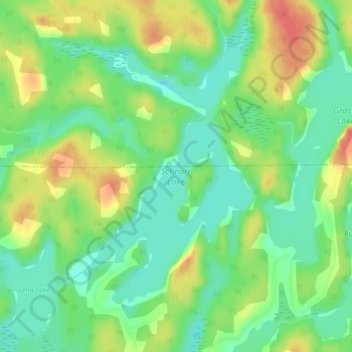
Schnarr Lake topographic map
Interactive map
Click on the map to display elevation.
About this map
Name: Schnarr Lake topographic map, elevation, terrain.
Average elevation: 351 m
Minimum elevation: 328 m
Maximum elevation: 382 m
Other topographic maps
Click on a map to view its topography, its elevation and its terrain.
Rabbit Lake
Canada > Ontario > Kenora District > Kenora
Rabbit Lake, Kenora, Kenora District, Northwestern Ontario, Ontario, Canada
Average elevation: 351 m