
杏林湾水库 topographic map
Interactive map
Click on the map to display elevation.
About this map
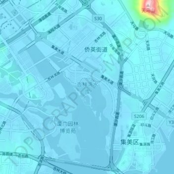
Name: 杏林湾水库 topographic map, elevation, terrain.
Location: 杏林湾水库, 集美区, 厦门市, 福建省, 中国 (24.56661 118.04066 24.62711 118.08872)
Average elevation: 12 m
Minimum elevation: -3 m
Maximum elevation: 367 m
Other topographic maps
Click on a map to view its topography, its elevation and its terrain.