
Göstrup topographic map
Interactive map
Click on the map to display elevation.
About this map
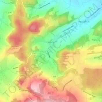
Name: Göstrup topographic map, elevation, terrain.
Location: Göstrup, Extertal, Kreis Lippe, Nordrhein-Westfalen, Deutschland (52.07417 9.02872 52.10782 9.07279)
Average elevation: 238 m
Minimum elevation: 143 m
Maximum elevation: 334 m