
Leonard topographic map
Interactive map
Click on the map to display elevation.
About this map
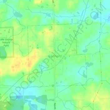
Name: Leonard topographic map, elevation, terrain.
Location: Leonard, Oakland County, Michigan, United States (42.85766 -83.15198 42.87339 -83.13212)
Average elevation: 306 m
Minimum elevation: 294 m
Maximum elevation: 320 m