
Slaughter topographic map
Interactive map
Click on the map to display elevation.
About this map
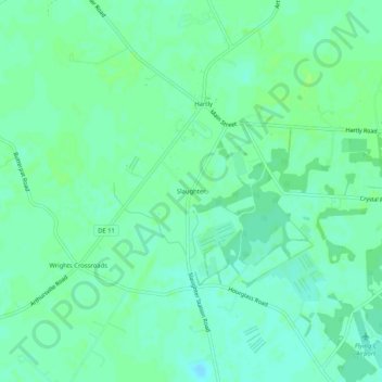
Name: Slaughter topographic map, elevation, terrain.
Location: Slaughter, Kent County, Delaware, 19953, United States (39.13956 -75.73493 39.17956 -75.69493)
Average elevation: 21 m
Minimum elevation: 16 m
Maximum elevation: 25 m