
Muğla topographic map
Click on the map to display elevation.
About this map
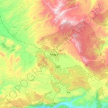
Name: Muğla topographic map, elevation, terrain.
Location: Muğla, Şeyh Mahallesi, Menteşe, Muğla, Aegean Region, Turkey (37.05515 28.20377 37.37515 28.52377)
Average elevation: 841 m
Minimum elevation: 23 m
Maximum elevation: 1,882 m