
Bailey topographic map
Interactive map
Click on the map to display elevation.
About this map
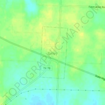
Name: Bailey topographic map, elevation, terrain.
Location: Bailey, Fannin County, Texas, 75413, United States (33.42693 -96.16933 33.44031 -96.16079)
Average elevation: 218 m
Minimum elevation: 208 m
Maximum elevation: 225 m
Other topographic maps
Click on a map to view its topography, its elevation and its terrain.
Ravenna
United States > Texas > Fannin County
Ravenna, Fannin County, Texas, United States
Average elevation: 179 m
Bonham
United States > Texas > Fannin County
Bonham, Fannin County, Texas, 75418, United States
Average elevation: 184 m