
Quailwood topographic map
Interactive map
Click on the map to display elevation.
About this map
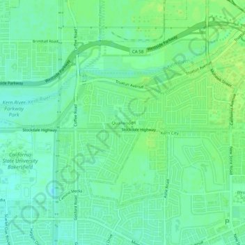
Name: Quailwood topographic map, elevation, terrain.
Average elevation: 119 m
Minimum elevation: 112 m
Maximum elevation: 124 m
Other topographic maps
Click on a map to view its topography, its elevation and its terrain.
Bakersfield
United States > California > Kern County > Bakersfield
Bakersfield, Kern County, California, 93301, United States
Average elevation: 161 m
Fruitvale
United States > California > Kern County > Bakersfield
Fruitvale, Bakersfield, Kern County, California, 93308, United States
Average elevation: 122 m