
Goulais River topographic map
Interactive map
Click on the map to display elevation.
About this map
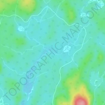
Name: Goulais River topographic map, elevation, terrain.
Average elevation: 494 m
Minimum elevation: 471 m
Maximum elevation: 585 m
Other topographic maps
Click on a map to view its topography, its elevation and its terrain.
Cowichan Lake
Canada > Ontario > Unorganized North Sudbury
Cowichan Lake, Unorganized North Sudbury, Sudbury District, Northeastern Ontario, Ontario, Canada
Average elevation: 519 m