
Mohall topographic map
Interactive map
Click on the map to display elevation.
About this map
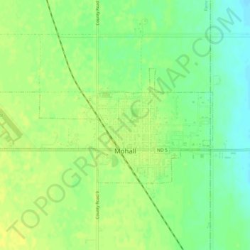
Name: Mohall topographic map, elevation, terrain.
Location: Mohall, Renville County, North Dakota, United States (48.75928 -101.54399 48.77389 -101.49664)
Average elevation: 499 m
Minimum elevation: 487 m
Maximum elevation: 507 m