
Lippborg topographic map
Interactive map
Click on the map to display elevation.
About this map
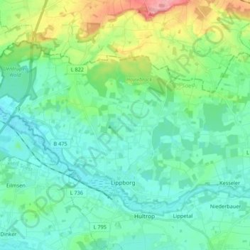
Name: Lippborg topographic map, elevation, terrain.
Average elevation: 85 m
Minimum elevation: 61 m
Maximum elevation: 167 m
Other topographic maps
Click on a map to view its topography, its elevation and its terrain.
Haus Assen
Deutschland > Nordrhein-Westfalen > Kreis Soest > Lippetal
Haus Assen, 1, Assenweg, Lippborg, Lippetal, Kreis Soest, Nordrhein-Westfalen, 59510, Deutschland
Average elevation: 75 m