
Elsterwerda topographic map
Interactive map
Click on the map to display elevation.
About this map
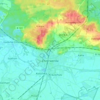
Name: Elsterwerda topographic map, elevation, terrain.
Location: Elsterwerda, Elbe-Elster, Brandenburg, 04910, Germany (51.42624 13.45746 51.51708 13.60597)
Average elevation: 103 m
Minimum elevation: 87 m
Maximum elevation: 154 m