
Khanakul topographic map
Interactive map
Click on the map to display elevation.
About this map
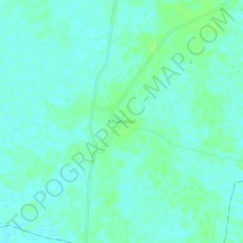
Name: Khanakul topographic map, elevation, terrain.
Location: Khanakul, Khanakul - I, Hugli, West Bengal, 712406, India (22.69264 87.83247 22.73264 87.87247)
Average elevation: 9 m
Minimum elevation: 5 m
Maximum elevation: 14 m