
Thank you for supporting this site ❤️
Make a donation
Make a donation
Kampung Kuantan topographic map
Click on the map to display elevation.
Thank you for supporting this site ❤️
Make a donation
Make a donation
About this map
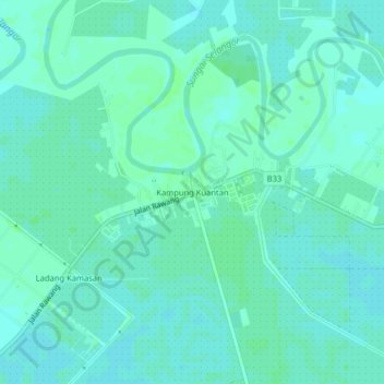
Name: Kampung Kuantan topographic map, elevation, terrain.
Location: Kampung Kuantan, Kuala Selangor, Selangor, Malaysia (3.34076 101.28226 3.38076 101.32226)
Average elevation: 4 m
Minimum elevation: 1 m
Maximum elevation: 8 m
Thank you for supporting this site ❤️
Make a donation
Make a donation
Other topographic maps
Click on a map to view its topography, its elevation and its terrain.