
Hollenzberg topographic map
Interactive map
Click on the map to display elevation.
About this map
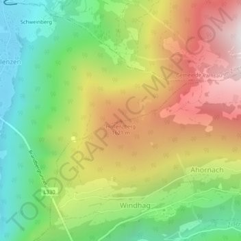
Name: Hollenzberg topographic map, elevation, terrain.
Average elevation: 1,237 m
Minimum elevation: 601 m
Maximum elevation: 2,020 m
Other topographic maps
Click on a map to view its topography, its elevation and its terrain.
Hollenzen
Österreich > Tirol > Bezirk Schwaz > Marktgemeinde Mayrhofen > Hollenzen
Hollenzen, Marktgemeinde Mayrhofen, Bezirk Schwaz, Tirol, 6284, Österreich
Average elevation: 950 m