
Stayman topographic map
Interactive map
Click on the map to display elevation.
About this map
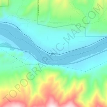
Name: Stayman topographic map, elevation, terrain.
Location: Stayman, Chelan County, Washington, United States (47.74569 -120.10980 47.78569 -120.06980)
Average elevation: 391 m
Minimum elevation: 214 m
Maximum elevation: 841 m