
峪口村 topographic map
Interactive map
Click on the map to display elevation.
About this map
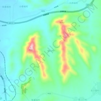
Name: 峪口村 topographic map, elevation, terrain.
Location: 峪口村, 唐山市, 河北省, 中国 (40.05217 118.02108 40.09217 118.06108)
Average elevation: 121 m
Minimum elevation: 51 m
Maximum elevation: 335 m
Other topographic maps
Click on a map to view its topography, its elevation and its terrain.