
Thank you for supporting this site ❤️
Make a donation
Make a donation
Inagua topographic map
Click on the map to display elevation.
Thank you for supporting this site ❤️
Make a donation
Make a donation
About this map
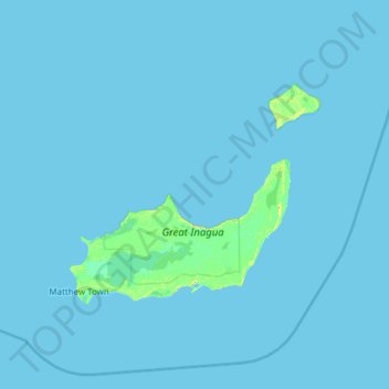
Name: Inagua topographic map, elevation, terrain.
Location: Inagua, The Bahamas (20.70598 -73.91666 21.76100 -72.69290)
Average elevation: 1 m
Minimum elevation: 0 m
Maximum elevation: 30 m
Thank you for supporting this site ❤️
Make a donation
Make a donation
Other topographic maps
Click on a map to view its topography, its elevation and its terrain.