
La Croix Gautron topographic map
Interactive map
Click on the map to display elevation.
About this map
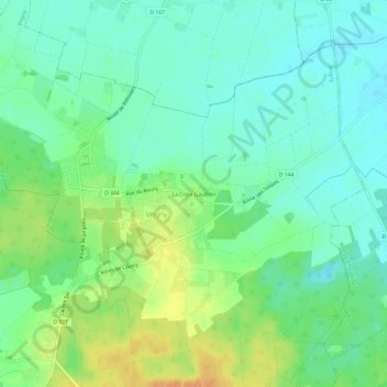
Name: La Croix Gautron topographic map, elevation, terrain.
Average elevation: 120 m
Minimum elevation: 107 m
Maximum elevation: 143 m
Other topographic maps
Click on a map to view its topography, its elevation and its terrain.
Étang d'Ordebrasse
France > Centre-Val de Loire > Loiret > Vrigny
Étang d'Ordebrasse, Vrigny, Pithiviers, Loiret, Centre-Val de Loire, France métropolitaine, 45300, France
Average elevation: 119 m