
Rotstein topographic map
Interactive map
Click on the map to display elevation.
About this map
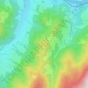
Name: Rotstein topographic map, elevation, terrain.
Location: Rotstein, Großraming, Bezirk Steyr-Land, 4463, Österreich (47.86576 14.55663 47.86586 14.55673)
Average elevation: 618 m
Minimum elevation: 373 m
Maximum elevation: 1,147 m