
Oswestry topographic map
Click on the map to display elevation.
About this map
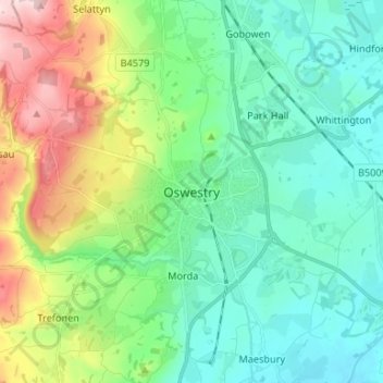
Name: Oswestry topographic map, elevation, terrain.
Location: Oswestry, Shropshire, England, SY11 1PX, United Kingdom (52.82031 -3.09482 52.90031 -3.01482)
Average elevation: 158 m
Minimum elevation: 74 m
Maximum elevation: 381 m