
Whitehouse topographic map
Interactive map
Click on the map to display elevation.
About this map
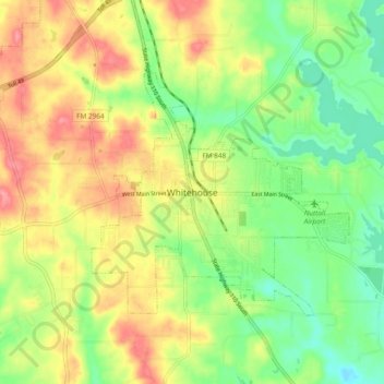
Name: Whitehouse topographic map, elevation, terrain.
Location: Whitehouse, Smith County, Texas, 75791, United States (32.18687 -95.26593 32.26687 -95.18593)
Average elevation: 141 m
Minimum elevation: 101 m
Maximum elevation: 187 m