
Thank you for supporting this site ❤️
Make a donation
Make a donation
Isla Mocolí topographic map
Click on the map to display elevation.
Thank you for supporting this site ❤️
Make a donation
Make a donation
About this map
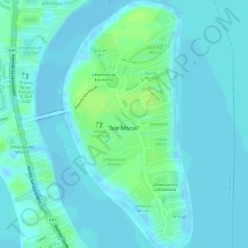
Name: Isla Mocolí topographic map, elevation, terrain.
Location: Isla Mocolí, Samborondón, Guayas, Ecuador (-2.11783 -79.86846 -2.09040 -79.85413)
Average elevation: 4 m
Minimum elevation: -6 m
Maximum elevation: 13 m
Thank you for supporting this site ❤️
Make a donation
Make a donation
Other topographic maps
Click on a map to view its topography, its elevation and its terrain.