
Thank you for supporting this site ❤️
Make a donation
Make a donation
Shebin el Qanater topographic map
Click on the map to display elevation.
Thank you for supporting this site ❤️
Make a donation
Make a donation
About this map
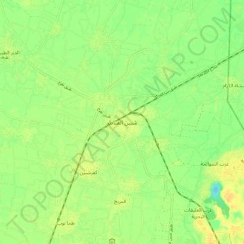
Name: Shebin el Qanater topographic map, elevation, terrain.
Location: Shebin el Qanater, Al Qalyubiya, 13711, Egypt (30.27253 31.27760 30.35253 31.35760)
Average elevation: 15 m
Minimum elevation: 0 m
Maximum elevation: 28 m
Thank you for supporting this site ❤️
Make a donation
Make a donation
Other topographic maps
Click on a map to view its topography, its elevation and its terrain.