
Halde topographic map
Interactive map
Click on the map to display elevation.
About this map
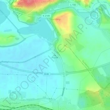
Name: Halde topographic map, elevation, terrain.
Location: Halde, Teutschenthal, Saalekreis, Sachsen-Anhalt, Deutschland (51.47646 11.74434 51.47656 11.74444)
Average elevation: 94 m
Minimum elevation: 76 m
Maximum elevation: 153 m