
Terga topographic map
Interactive map
Click on the map to display elevation.
About this map
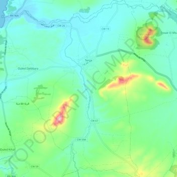
Name: Terga topographic map, elevation, terrain.
Location: Terga, Daïra El Malah, Aïn Témouchent, Algérie (35.35323 -1.25436 35.45154 -1.14469)
Average elevation: 76 m
Minimum elevation: -1 m
Maximum elevation: 346 m