
Olton topographic map
Interactive map
Click on the map to display elevation.
About this map
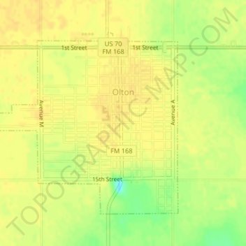
Name: Olton topographic map, elevation, terrain.
Location: Olton, Lamb County, Texas, 79064, United States (34.17001 -102.15437 34.18993 -102.12735)
Average elevation: 1,099 m
Minimum elevation: 1,080 m
Maximum elevation: 1,105 m