
Tembeling topographic map
Interactive map
Click on the map to display elevation.
About this map
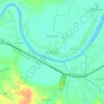
Name: Tembeling topographic map, elevation, terrain.
Location: Tembeling, Bojonegoro, East Java, 62162, Indonesia (-7.18405 111.63054 -7.14405 111.67054)
Average elevation: 29 m
Minimum elevation: 18 m
Maximum elevation: 58 m