
坝心镇 topographic map
Interactive map
Click on the map to display elevation.
About this map
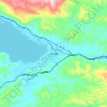
Name: 坝心镇 topographic map, elevation, terrain.
Location: 坝心镇, 石屏县, 红河哈尼族彝族自治州, 云南省, 中国 (23.61551 102.59371 23.69551 102.67371)
Average elevation: 1,548 m
Minimum elevation: 1,407 m
Maximum elevation: 2,020 m
Other topographic maps
Click on a map to view its topography, its elevation and its terrain.