
Васильевка topographic map
Interactive map
Click on the map to display elevation.
About this map
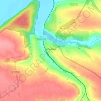
Name: Васильевка topographic map, elevation, terrain.
Location: Васильевка, Васильевский район, Запорожская область, Украина (47.41618 35.23225 47.46813 35.32462)
Average elevation: 60 m
Minimum elevation: 11 m
Maximum elevation: 101 m