
Oberon Council topographic map
Interactive map
Click on the map to display elevation.
About this map
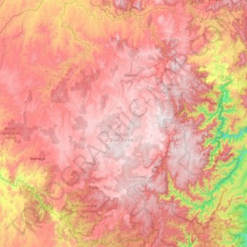
Name: Oberon Council topographic map, elevation, terrain.
Location: Oberon Council, New South Wales, 2787, Australia (-34.20593 149.39472 -33.48477 150.24097)
Average elevation: 899 m
Minimum elevation: 140 m
Maximum elevation: 1,357 m
Other topographic maps
Click on a map to view its topography, its elevation and its terrain.