
Southmere topographic map
Interactive map
Click on the map to display elevation.
About this map
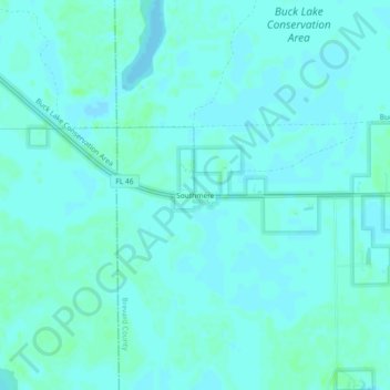
Name: Southmere topographic map, elevation, terrain.
Location: Southmere, Brevard County, Florida, 32754, United States (28.64527 -80.97617 28.68527 -80.93617)
Average elevation: 3 m
Minimum elevation: 0 m
Maximum elevation: 7 m