
Aulosen topographic map
Interactive map
Click on the map to display elevation.
About this map
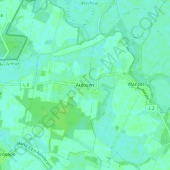
Name: Aulosen topographic map, elevation, terrain.
Location: Aulosen, Seehausen, Stendal, Sachsen-Anhalt, Deutschland (52.97268 11.56318 53.01268 11.60318)
Average elevation: 20 m
Minimum elevation: 16 m
Maximum elevation: 24 m