
伊逊河 topographic map
Interactive map
Click on the map to display elevation.
About this map
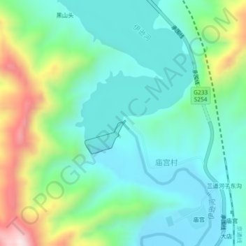
Name: 伊逊河 topographic map, elevation, terrain.
Location: 伊逊河, 围场县, 围场满族蒙古族自治县, 承德市, 中国 (41.72485 117.84171 41.72490 117.84180)
Average elevation: 855 m
Minimum elevation: 717 m
Maximum elevation: 1,237 m