
Las Pailas topographic map
Interactive map
Click on the map to display elevation.
About this map
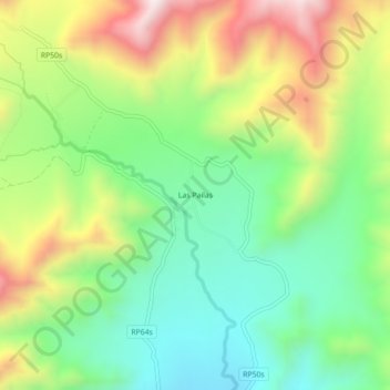
Name: Las Pailas topographic map, elevation, terrain.
Location: Las Pailas, Municipio de Cachi, Cachi, Salta, Argentina (-25.06403 -66.22696 -25.02403 -66.18696)
Average elevation: 2,953 m
Minimum elevation: 2,676 m
Maximum elevation: 3,391 m