
青邑 topographic map
Interactive map
Click on the map to display elevation.
About this map
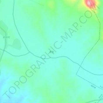
Name: 青邑 topographic map, elevation, terrain.
Location: 青邑, 邹城市, 济宁市, 山东省, 中国 (35.37398 117.42594 35.41398 117.46594)
Average elevation: 218 m
Minimum elevation: 179 m
Maximum elevation: 378 m