Geolocate

Kathewitz topographic map

Interactive map

Click on the map to display elevation.

About this map

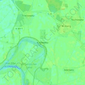
Name: Kathewitz topographic map, elevation, terrain.

Location: Kathewitz, Arzberg, Beilrode, Nordsachsen, Saxony, Germany (51.50255 13.08897 51.54255 13.12897)

Average elevation: 86 m

Minimum elevation: 80 m

Maximum elevation: 90 m

Other topographic maps

Click on a map to view its topography, its elevation and its terrain.

04862

Germany > Saxony > Nordsachsen > Mockrehna

Average elevation: 107 m

Elsnig

Germany > Saxony > Nordsachsen

Average elevation: 91 m

Elster-Saale-Kanal

Germany > Saxony > Nordsachsen > Schkeuditz

Average elevation: 111 m

Bad Düben

Germany > Saxony > Nordsachsen

Average elevation: 98 m

Naundorf

Germany > Saxony > Nordsachsen > Naundorf

Average elevation: 155 m

Spielburg

Germany > Saxony > Nordsachsen > Eilenburg

Average elevation: 104 m