
Smithville topographic map
Interactive map
Click on the map to display elevation.
About this map
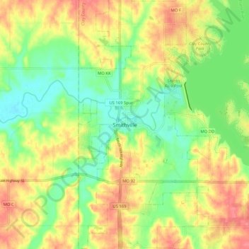
Name: Smithville topographic map, elevation, terrain.
Location: Smithville, Clay County, Missouri, 64089, United States (39.34684 -94.62159 39.42684 -94.54159)
Average elevation: 271 m
Minimum elevation: 240 m
Maximum elevation: 304 m