
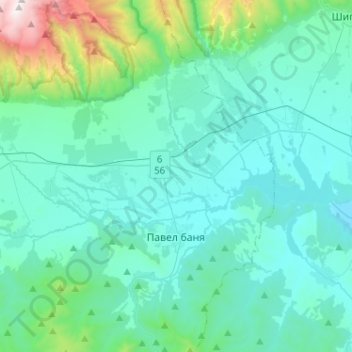
Pavel Banya topographic map
Interactive map
Click on the map to display elevation.
About this map
Name: Pavel Banya topographic map, elevation, terrain.
Location: Pavel Banya, Pavel Bania, Stara Zagora, 6155, Bulgaria (42.53232 25.10229 42.72099 25.23539)
Average elevation: 600 m
Minimum elevation: 352 m
Maximum elevation: 2,183 m