
Thumrait topographic map
Interactive map
Click on the map to display elevation.
About this map
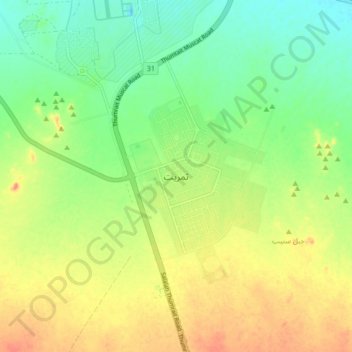
Name: Thumrait topographic map, elevation, terrain.
Location: Thumrait, Dhofar, Oman (17.57251 54.00322 17.65251 54.08322)
Average elevation: 482 m
Minimum elevation: 455 m
Maximum elevation: 515 m
Other topographic maps
Click on a map to view its topography, its elevation and its terrain.