
Center topographic map
Interactive map
Click on the map to display elevation.
About this map
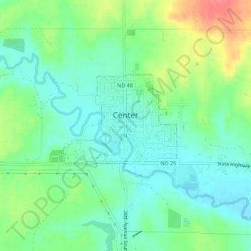
Name: Center topographic map, elevation, terrain.
Location: Center, Oliver County, North Dakota, United States (47.10974 -101.30986 47.12067 -101.29148)
Average elevation: 617 m
Minimum elevation: 594 m
Maximum elevation: 664 m