
董寨 topographic map
Interactive map
Click on the map to display elevation.
About this map
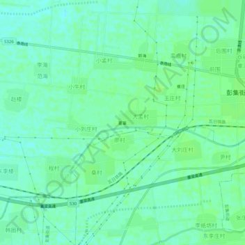
Name: 董寨 topographic map, elevation, terrain.
Location: 董寨, 东平县, 泰安市, 山东省, 271500, 中国 (35.83996 116.41633 35.87996 116.45633)
Average elevation: 47 m
Minimum elevation: 42 m
Maximum elevation: 51 m
Other topographic maps
Click on a map to view its topography, its elevation and its terrain.