
Thank you for supporting this site ❤️
Make a donation
Make a donation
Oseke topographic map
Click on the map to display elevation.
Thank you for supporting this site ❤️
Make a donation
Make a donation
About this map
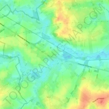
Name: Oseke topographic map, elevation, terrain.
Location: Oseke, Lessen, Aat, Henegouwen, Wallonië, 7862, België (50.70360 3.74512 50.73786 3.79892)
Average elevation: 38 m
Minimum elevation: 20 m
Maximum elevation: 64 m
Thank you for supporting this site ❤️
Make a donation
Make a donation