
长顺县 topographic map
Interactive map
Click on the map to display elevation.
About this map
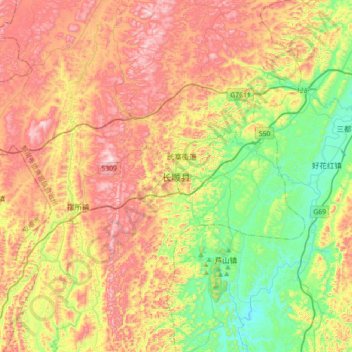
Name: 长顺县 topographic map, elevation, terrain.
Location: 长顺县, 黔南布依族苗族自治州, 贵州省, 558000, 中国 (25.84613 106.27730 26.16613 106.59730)
Average elevation: 1,191 m
Minimum elevation: 914 m
Maximum elevation: 1,522 m
Other topographic maps
Click on a map to view its topography, its elevation and its terrain.