
Thank you for supporting this site ❤️
Make a donation
Make a donation
Perwijs topographic map
Click on the map to display elevation.
Thank you for supporting this site ❤️
Make a donation
Make a donation
About this map
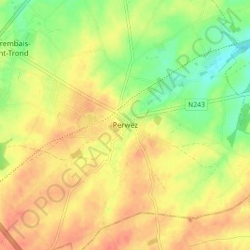
Name: Perwijs topographic map, elevation, terrain.
Location: Perwijs, Nijvel, Waals-Brabant, Wallonië, 1360, België (50.60345 4.79347 50.64345 4.83347)
Average elevation: 152 m
Minimum elevation: 126 m
Maximum elevation: 169 m
Thank you for supporting this site ❤️
Make a donation
Make a donation