
Pine Flat topographic map
Interactive map
Click on the map to display elevation.
About this map
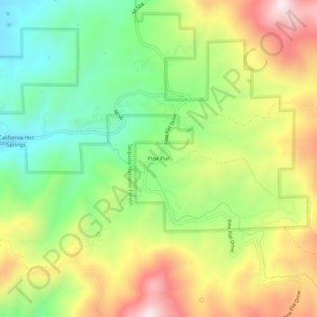
Name: Pine Flat topographic map, elevation, terrain.
Location: Pine Flat, Tulare County, California, 93207, United States (35.85801 -118.67148 35.89801 -118.63148)
Average elevation: 1,198 m
Minimum elevation: 934 m
Maximum elevation: 1,542 m